Things are moving fast in the mobile world, and the last couple of years have been particularly progressive in the rather specific, but somehow exciting world of mobile GIS. This is allowing practitioners to tighten the loop between desk investigation, field study, and reporting, as mobile devices provide access to traditional reference data in the field, data can be digitally recorded and georeferenced ‘on-the-fly’, and mobile internet access allows instant updating of web-based GIS systems.
While this may all sound a bit esoteric, the potential is exciting – as groups of engineers and geoscientists involved in disaster response, for example, can be deployed independently while working collaboratively on live geotechnical or geohazard databases. Colleagues with access in either field or office environments can then undertake live data analysis or consultation, focusing field programs without interrupting the investigation process. The last couple of years have seen some huge steps toward this goal, but every new technology develops in proportion to it’s user base, so perhaps now is a good time to highlight some particularly impressive advances.

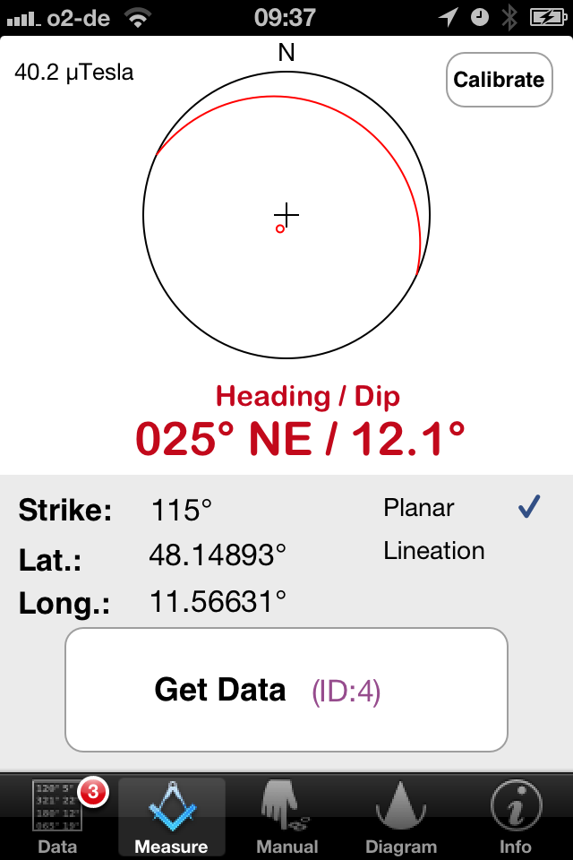
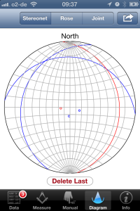
Lambert allows structural measurements to be simultaneously recorded,
geolocated, and plotted for analysis
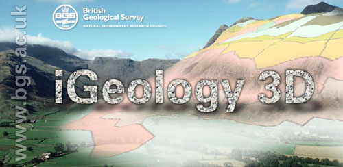
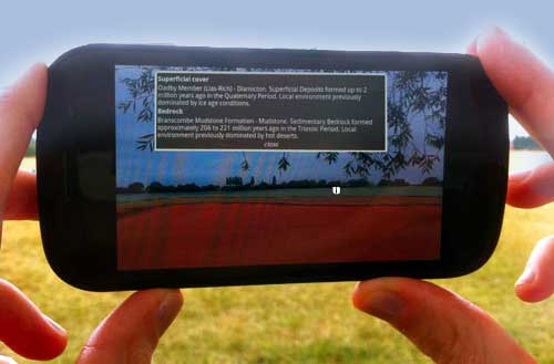
The BGS has released iGeology 3D, an augmented reality app for Android that overlays geological data on images viewed through a mobile phone camera (credit: www.bgs.ac.uk)
This last offering from the people at Fulcrum is particularly exciting, as working closely with the open-source GIS community, the developers have produced a beautiful, functional means of quickly creating customized geodatabases for both iOS and Android devices. The mobile data can be instantly synced with an intuitive web platform, and data can either be exported manually, or integrated with custom software using their own API. The service has been available for just over a year, has a number of basic subscription-based plans available to commercial users, as well as a free (almost full-featured) option available for occasional users.

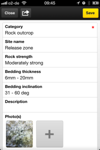
The Fulcrum project setup combines an intuitive drag-and-drop interface with
powerful requirement and visibility settings for each field
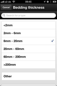
The drag-and-drop interface allows customizable (text, numeric, multi-option, single-option etc.) fields to be added and structured within the app, and with the help of some clever requirement and visibility rules, designers can ensure only relevant fields are available for a specific situation, while at the same time data such as soil or rock descriptions cannot be saved without ensuring standard recording requirements have been fulfilled (handy for forgetful or rushed investigators in the field). The platform is specifically configured for work in regions with no, or intermittent mobile coverage, and the open-source base maps can be supplemented by user-generated maps (up to 100 Mb for the free service). This is one of the first systems to implement a new open source MBtiles API, which with the help of free software such as TileMill and QGIS, allows users to upload their own maps to mobile devices by circumventing an inherent bottleneck associated with opening large files on relatively low-performance devices.
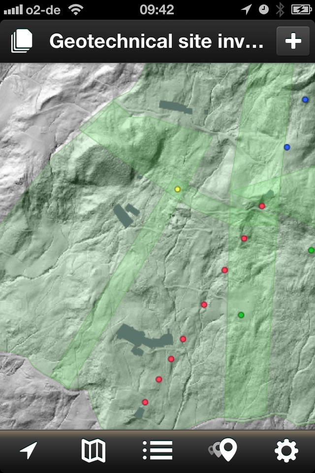
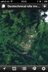
The ability to upload user-generated maps and fully customizable database setup are
major strengths of the Fulcrum system
A single button in the mobile interface can be used to sync the database settings, user-generated content, and online data for all members of a group – it really couldn’t be easier. The online map interface is easy to use, though unfortunately at the moment there seems to be no way to display user-generated base maps on the website. Overall I’m impressed, the system seems effective, and not overly complicated, the integration with open source products and simple data export options highlights the community-driven nature of the service, and seeing such an effective application focus on environmental management and disaster relief makes me feel like we’ve come a long way in the last few years.
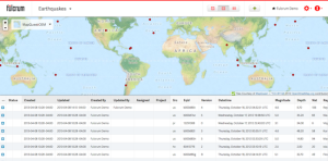
The online interface is clear and effective, allowing users to display data in map and tabular formats (credit: fulcrumapp.com)
For me, all of the above offerings are exciting, and I expect they will soon change the way geoscientists and engineers get things done. While this is good for the practitioners, I think the faster and more focused investigations could be great for affected communities, and I look forward to seeing interesting future applications and outcomes.
Recent Comments