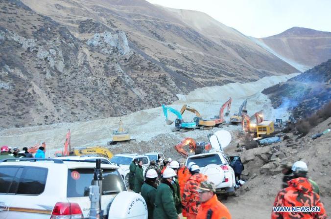
Just under three weeks ago a catastrophic landslide claimed the lives of 83 workers at a copper/gold mine in China’s Tibet Autonomous Region. The victims are reported to have been local workers employed by a Chinese national mining company. Many details of this tragic event are described in news reports, and summarized on Dave Petley’s landslide blog, where […]
Read More...stress-driven
Geohazard information for the masses
Author: kerryleith (page 7 of 7)
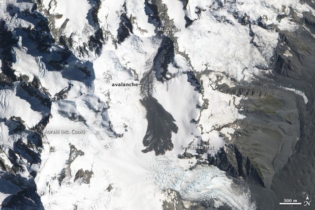
In my last post I discussed the growing volume of geodata available online – and in particular ways in which it can be accessed by freely available GIS software. This kind of accessibility has great potential for geoscientists, and among other uses (e.g. teaching, structural geology) perhaps is a step toward ‘crowdsourcing’ geotechnical expertise for […]
Read More...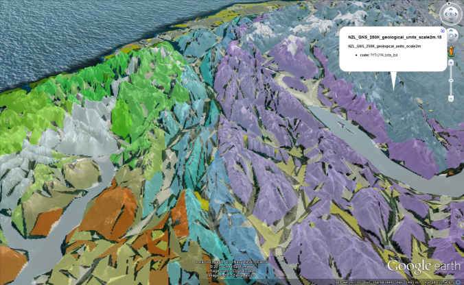
After spending some time working on the Bavaria maps pages (both the Earth and Maps pages work now!), I recently went in search of a way to project the same data in a vector format. At the moment I use the GDAL library (specifically gdalwarp and gdal2tiles) to convert georeferenced .tiff files to a .png format […]
Read More...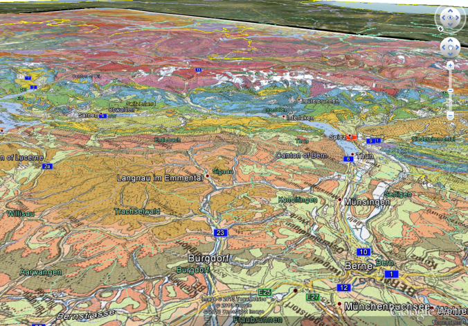
Hi all, Over the last few years I’ve spent a lot of time working in the Alps – learning about the valley geomorphology, slope instabilities, bedrock properties… enjoying the steep valleys, long trails, alternately hot and freezing weather, and supermarkets closed at lunchtime. A German version of steep valleys and freezing weather; A view from the top […]
Read More...© 2026 stress-driven
Theme by Anders Noren — Up ↑
Recent Comments